

Table of Contents
Some links on posts are affiliate links and will earn us a commission from qualifying purchases
We live quite near to the South Downs, one of Great Britain’s National parks, and have walked some of this, particularly around Brighton and Eastbourne. Between us we have visited several other National Parks, although not together, and started to think it was time we planned to visit some more. But we didn’t know how many there were, or where they were.
After a bit of research we found that there are 15 National Parks in Great Britain; 10 in England, 3 in Wales, and 2 in Scotland. The oldest is the Peak District (1951), whereas our local one, the South Downs, is the newest (2010). The Norfolk Broads are the smallest at just 117 square miles and lowest (125 feet above sea level at Strumpshaw Hill), with the Cairngorms the largest (1748 square miles) and highest (Ben Macdui is 4295 feet above sea level).
What is a National Park?
A National Park is an area of land that is protected due to it’s beautiful countryside, wildlife and cultural heritage, as outlined in the 1949 National Parks and Access to the Countryside Act.
The land is still, in the large part, owned by normal people, but the aim is to help conserve the land and it’s wildlife so that visitors can enjoy and learn about the heritage of the area. By doing so it will also assist the local communities in being economically better off, without destroying the natural habitat.
Each National Park has their own special qualities which have been identified and make them unique. These include the landscape, geology and views; the local wildlife and rare species; history and archaeology of the area.
Whilst there are many reason for visiting a National Park, 40% of the visitors go there to walk.
History and size of the National Parks
The early 1950’s were very important to Britain’s countryside as eight National Parks were established in the first half of the decade, beginning with The Peak District. By the time the decade was over, a further two areas had been designated National Park status.
From then it was a jump of over 30 years until The Broads were given National Park status, before the two Scottish Parks in the new century. The final two National Parks, so far, are our closest in The New Forest and The South Downs.
| Name | Confirmed | Size (Km squared) | Population |
| The Peak District | 17/04/1951 | 1437 | 37,905 |
| The Lake District | 13/08/1951 | 2362 | 41,100 |
| Snowdonia | 18/10/1951 | 2176 | 25,482 |
| Dartmoor | 30/10/1951 | 953 | 34,000 |
| Pembrokeshire Coast | 29/02/1952 | 621 | 22,800 |
| North York Moors | 28/11/1952 | 1434 | 23,380 |
| Yorkshire Dales | 16/11/1954 | 2179 | 23,637 |
| Exmoor | 19/10/1954 | 694 | 10,600 |
| Northumberland | 06/04/1956 | 1048 | 2,200 |
| Brecon Beacons | 17/04/1957 | 1344 | 32,000 |
| The Broads | 01/04/1989 | 303 | 6,271 |
| Loch Lomond & The Trossachs | 19/07/2002 | 1865 | 15,600 |
| Cairngorms | 25/03/2003 | 4528 | 17,000 |
| The New Forest | 01/04/2006 | 570 | 34,922 |
| The South Downs | 31/03/2010 | 1624 | 120,000 |
How are National Parks maintained
Each National Park is maintained by an Authority, which is made up of members, staff and volunteers. Each park has between 10 and 30 Members, whose role it is to listen to the staff and make decisions on what is required. They are unpaid but do not work full-time. Some of them may be appointed by the Government for their expertise in environmental issues. They are almost all local people.
Each National Park employs between 50-200 paid staff, most working in the headquarters for that park, although there will be others working in offices and visitor centres throughout the park.
Each park will also have many, maybe hundreds, of volunteers. People love to volunteer in order to put something back into an area that they live and love. Volunteers could be tasked with a variety of roles including fixing dry stone walls and fences, leading guided tours and caring for the wildlife.
Other organisations such as The Wildlife Trust and the RSPB will work closely with the National Park Authorities to help maintain the countryside.
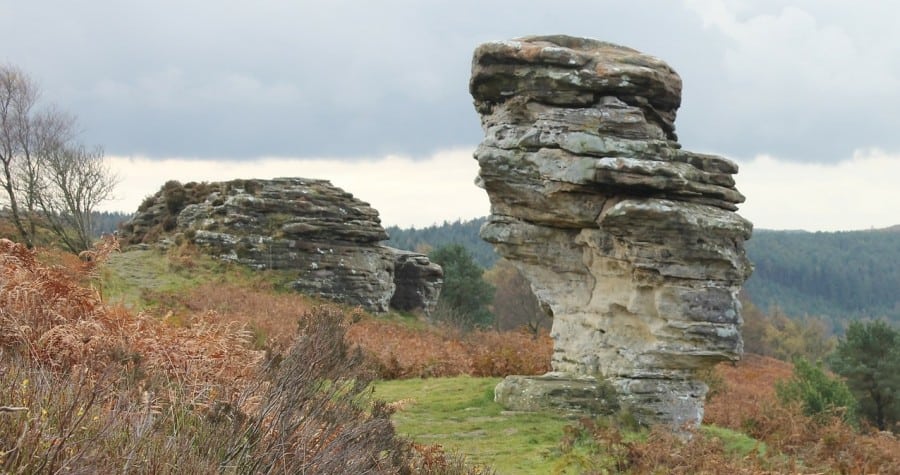
National Parks in England
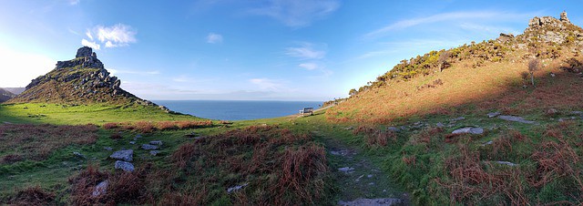
The South Downs National Park
- Confirmed – 2010
- Area – 1624 square kilometres
- Highest Point – Blackdown 280m above sea level
- Coastline – 14 kilometres
- Main Towns – Arundel, Lewes, Midhurst, Petersfield, Steyning
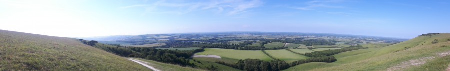
Britain’s newest National Park is home to rolling hills above white cliffs, lovely little villages, and is a real attraction for outdoor enthusiasts.
The ultimate walk here is the South Downs Way, 100 miles from Winchester to Eastbourne. They have produced a great pdf document which breaks down the walk into stages, and also gives you public transport options for getting there.
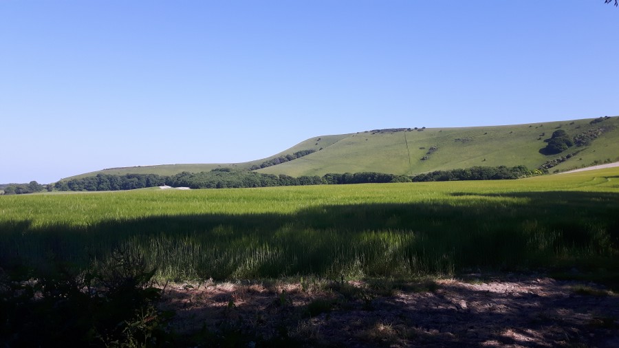
We stayed in Brighton for a weekend last year and headed up to the Ditchling Beacon to try out two walks, one in each direction. They were both great but in such contrasting weather – blazing sunshine one day, what felt like force 9 gales the next (maybe a slight exaggeration).
Alternatively you may want to try some walks around Midhurst, Shoreham-by-Sea, or the Ouse Valley. Or take a look at one of our favourite places – the village of Firle, where we visited for my birthday a few years ago and try to visit each summer.
The New Forest National Park
- Confirmed – 2006
- Area – 570 square kilometres
- Highest Point – Telegraph Hill 140m above sea level
- Coastline – 42 kilometres
- Main Towns – Brockenhurst, Burley, Lyndhurst
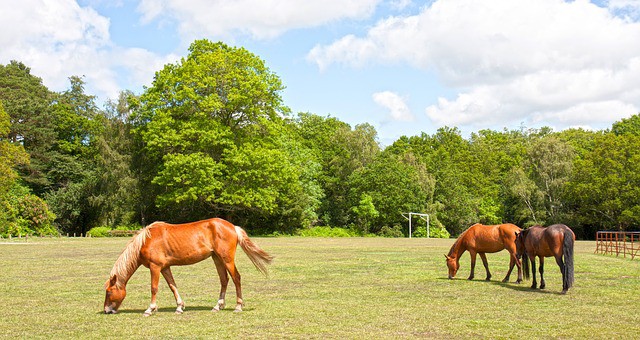
The New Forest National Park is not far away from us, but it’s somewhere I’ve only driven through, which is something I need to rectify. But even so, I know it’s an area of great woodland, wild heathland and roaming ponies. As well as some beautiful coastal towns.
You can find almost 30 walking routes here on this great route finder page, although if you want to look up routes whilst on the move, they have even produced their own route app for smartphones.
But which walks would I pick? I have always liked the village of Brockenhurst, so would have to choose this walk to explore the area properly. But you can’t come to the New Forest National Park without a trip through some trees, so I’d plump for the Blackwater Tall Trees Arboretum, although it’s a little short for my liking at just 2 miles. But there are other walks very nearby which could be combined.
Dartmoor National Park
- Confirmed – 1951
- Area – 953 square kilometres
- Highest Point – High Willhays 621m above sea level
- Coastline – 0 kilometres
- Main Towns – Ashburton, Buckfastleigh, Chagford, Moretonhampstead
- Visitors a year – 2.4 million
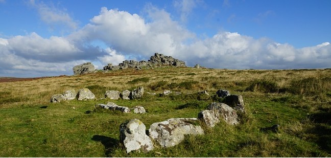
In the Dartmoor National Park you are likely to find wild moorlands that inspired great authors such as Daphne du Maurier, with ancient monuments and old mines. Whilst walking look out for the wild ponies and numerous rivers.
Running from Okehampton in the north of the National Park and travelling down to Plymouth, the West Devon Way is a 37 mile route which can be tackled in one over a few days or conveniently can be split into 8 sections, each served by a local bust stop.
If this seems a bit like hard work, you can get a pdf download of shorter and more accesible walks here.
Exmoor National Park
- Confirmed – 1954
- Area – 694 square kilometres
- Highest Point – Dunkery Beacon 519m above sea level
- Coastline – 55 kilometres
- Main Towns – Dulverton, Dunster, Lynton, Porlock
- Visitors a year – 1.4 million
Wildlife and nature fans will love Exmoor National Park, and will be keeping a look out for the Exmoor ponies. With rolling hills and wooded valleys, and some of the most dramatic coastline in the UK, there’s plenty of great scenery to choose from for your walks.
If you are looking for some long walks whilst visiting Exmoor National Park then there are plenty to choose from. To start with, there’s The Two Moors Way, also known as the Devon Coast to Coast. Starting at Lynmouth it’s just over 100 miles to Ivybridge at the southern point of the Dartmoor National Park.
Alternatively, you may want to try The Exe Valley Way, The Tarka Trail (a figure of eight circuit), or follow the footsteps of the poet along The Coleridge Way.
The Broads National Park
- Confirmed – 1989
- Area – 303 square kilometres
- Highest Point – Strumpshaw Hill 38m above sea level
- Coastline – 27 kilometres
- Main Towns – Acle, Beccles, Brundle, Loddon, Oulton Broad, Stalham, Wroxham
- Visitors a year – 8 million
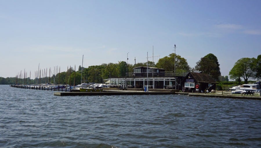
The Broads were given National Park Status by the Norfolk and Suffolk Broads Act 1988, and has an added emphasis on protection of navigation rights due to the nature of it’s canals and rivers. It has over 200 km of waterways to explore, but is also home to some of the rarest wildlife, windmills and ancient monasteries.
Whilst you will always think of the water when considering the Norfolk Broads for a visit, due to it’s low levels and lack of hills, it also offers some great walking opportunities for those who don;t like mountain challenges.
Why not walk from How Hill to St Benet’s Abbey, tackle the Loddon Marshes, or the Barton Board Walk?
The Peak District National Park
- Confirmed – 1951
- Area – 1437 square kilometres
- Highest Point – Kinder Scout 636m above sea level
- Coastline – 0 kilometres
- Main Towns – Bakewell, Tideswell
- Visitors a year – 8.75 million
The Peak District was the very first National Park, and with it’s rugged, rocky moors containing great examples of limestone, it’s no surprise it was recognised. It’s also home to some of the great country houses of our land.
They have done a lot of work on their Miles Without Stiles initiative, opening up the countryside to people of all ages and abilities. So maybe you might want to tackle some of these – Tideswell Dale, Derwent Dam, or Langsett?
If you are looking for a longer weekend walk, then take a look at the 46 mile Limestone Way (part of the Trans Pennine Walk) or the 55 mile Derwent Valley Heritage Way.
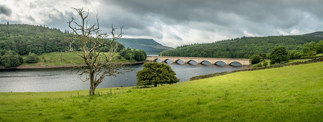
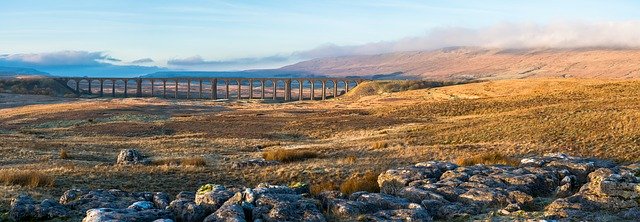
The Yorkshire Dales National Park
- Confirmed – 1954
- Area – 2179 square kilometres
- Highest Point – Whernside 736m above sea level
- Coastline – 0 kilometres
- Main Towns – Grassington, Hawes, Sedbergh, Settle
- Visitors a year – 9.5 million
The Yorkshire Dales is a beautiful area full of stone clad villages surrounded by farmland aplenty. Dry stone walls mark the boundaries to these farms, and separate from the heather clad rolling hills throughout this area.
The Yorkshire Dales is a fabulous place to go walking whether you are looking for a gentle riverside stroll or a hike on a wild and empty moorland. If it’s woodland you are looking for, then head out to Colt Park Wood or Oxenber and Wharfe Woods.
Of course, no trip to the Yorkshire Dales would be complete without a trip to one, or all, of the Three Peaks of Pen-y-ghent, Ingleborough and Whernside.
North York Moors National Park
- Confirmed – 1952
- Area – 1434 square kilometres
- Highest Point – Urra Moor 454m above sea level
- Coastline – 42 kilometres
- Main Towns – Helmsley, Thornton-le-Dale
- Visitors a year – 7 million
Unsurprisingly open moorland covered in purple heather is one of the many features to be found on the North York Moors. Ancient abbeys made from natural stone and beautiful villages along with stunning coastline battle for attention.
Why not discover the moorlands and the rock crags known as the Wainstones? Maybe you’ll want to tackle “Yorkshire’s Matterhorn”, Roseberry Topping. Or see the stunning landscapes when you visit the Kilburn White Horse.
If you are looking for a walking holiday in the North York Moors there are plenty of companies that can help you, including people who will be able to get your baggage from one overnight stop to another. Alternatively, you may want to join others on a guided walk.
Lake District National Park
- Confirmed – 1951
- Area – 2362 square kilometres
- Highest Point – Scafell Peak 978m above sea level
- Coastline – 23 kilometres
- Main Towns – Ambleside, Bowness, Coniston, Grasmere, Keswick
- Visitors a year – 16.4 million
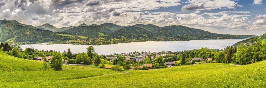
If rugged mountains and beautiful scenic water is your thing, then there’s only one place for you, and you know that without me telling you. Throw in some of the most idyllic villages too and you’ll head back year after year to explore every square mile.
As well as being England’s largest National Park it’s home to the highest mountain in England, and has been awarded World Heritage Site status. Follow in Alfred Wainwright’s footsteps, why not check out one of his Pictorial Guides and maybe visit his memorial in the church at Buttermere.
With such a beautiful area, you may benefit from starting with a guided walk, so that you get a real feel for the history.
Northumberland National Park
- Confirmed – 1956
- Area – 1048 square kilometres
- Highest Point – The Cheviot 815m above sea level
- Coastline – 0 kilometres
- Main Towns – Bellingham, Haltwhistle, Hexham, Rothbury and Wooler
- Visitors a year – 1.5 million
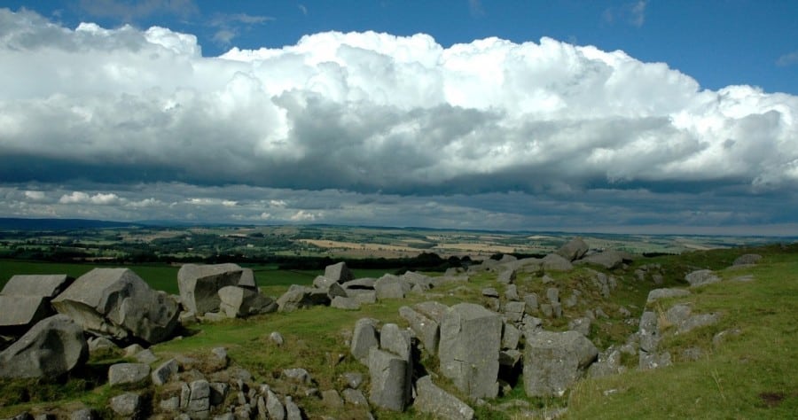
Northumberland National Park is perfect for walkers who love hill walking and is also home to Hadrian’s Wall. The Cheviot Hills are covered in heather, and if you are a night loving star gazer you’ll love the fact that it is Europe’s largest area of protected night sky.
For walkers, there’s plenty on offer. Walks are mainly split between 3 areas – The Cheviots, North Tyne & Redesdale, and Coquetdale. But of course, when you are so close the the border with Scotland can you really resist a visit to Hadrian’s Wall?
If you’ve got a full day to walk and are up for a challenge, then why not head out and walk the 11 and a half miles from Hethpool to the Curr?
National Parks in Scotland
Loch Lomond and The Trossachs National Park
- Confirmed – 2002
- Area – 1865 square kilometres
- Highest Point – Ben More 1174m above sea level
- Coastline – 58 kilometres
- Main Towns – Balloch, Callander, Tarbet
- Visitors a year – 4 million
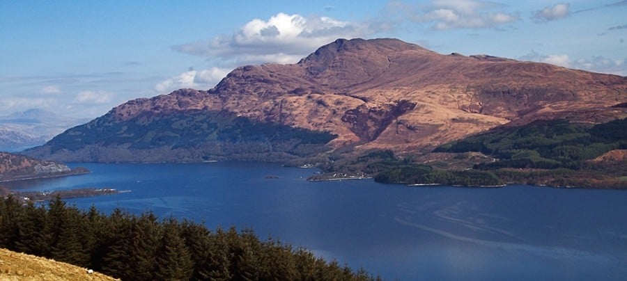
The Loch Lomond and The Trossachs National Park is home to not only the largest lake in the UK, but also to over 20 large lochs. But it’s not only about the water – when visiting expect vast forests and mountain ranges too.
There are six of Scotland’s Great Trails in the Park:
- The John Muir Way – 134 miles from Helensburgh to Dunbar, Scotland’s newest long distance route.
- The West Highland Way – 96 miles from Milngavie near Glasgow to Fort William. Listed in the Top 10 Trails in the world by National Geographic.
- The Rob Roy Way – 77 miles from Drymen to Pitlochry, based on the trails taken by infamous outlaw Rob Roy.
- Loch Lomond & Cowal Way – one of the quietest walks, 57 miles from Portavadie to Inveruglas.
- The Three Lochs Way – 31 miles from Balloch to Inveruglas. Expect to take at least 3 days.
- The Great Trossachs Path – 30 miles long, joins Callander to Inversnaid by Loch Lomond.
If you are looking for individual walks rather than one long one, then why not check out these short to moderate walks.
The Cairngorms National Park
- Confirmed – 2003
- Area – 4528 square kilometres
- Highest Point – Ben Macdui 1309m above sea level
- Coastline – 0 kilometres
- Main Towns – Aviemore, Ballater, Braemar, Grantown-on-Spey, Kingussie, Newtonmore, Tomintoul
- Visitors a year – 1.5 million
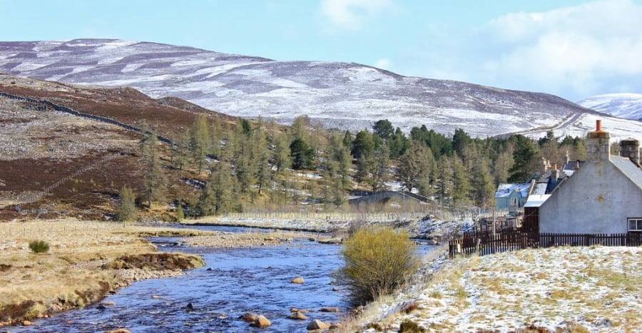
The Cairngorms is the UK’s largest National Park, and home also to the highest place in Ben Macdui. Mountain landscapes and pine forests full of wildlife such as red squirrels and golden eagles abound.
If you are looking for a long distance walk, there are four to choose from:
- The Speyside Way – 65 miles from the Moray Coast to the Grampian Mountains.
- The Cateran Trail – a 64 mile circular walk passing through Perthshire and the Angus Glens.
- The Deeside Way – Aberdeen to Ballater, following the Old Royal Deeside Railway, 41 miles.
- The Dava Way – Forres to Grantown-on-Spey following the old Highland Railway Line, 24 miles.
Alternatively you may want to choose one of the 16 Health Walks – designed to encourage you to get outside, learn about the area and meet people, with a trained leader. But if you would rather set off on your own, then you’ll probably prefer one of these trails.
National Parks in Wales
The Brecon Beacons National Park
- Confirmed – 1957
- Area – 1344 square kilometres
- Highest Point – Pen y Fan 886m above sea level
- Coastline – 0 kilometres
- Main Towns – Brecon, Crickhowell, Gilwern, Hay
- Visitors a year – 4.15 million
The Brecon Beacons National Park is located in South Wales. A great place to walk or cycle, it is made of four mountain ranges, and is also perfect for stargazers, as the entire park is an International Dark Sky Reserve.
If you have 8 days available, you may want to walk The Beacons Way, a 99 mile route from The Holy Mountain to Bethlehem. It is a challenging route, but one that a fit walker should be able to manage. High hills, deep valleys and large moorlands are typical.
If you feel that this a challenge too far, or you don’t have the time to do it all, then you may want to try routes along the river Wye or next to the canal basin. Maybe you want something a bit wilder, in which case the Penwyllt Circuit may be more to your liking.
Pembrokeshire Coast National Park
- Confirmed – 1952
- Area – 621 square kilometres
- Highest Point – Foel Cwmcerwyn 418m above sea level
- Coastline – 418 kilometres
- Main Towns – St Davids, Saundersfoot, Tenby
- Visitors a year – 4.2 million
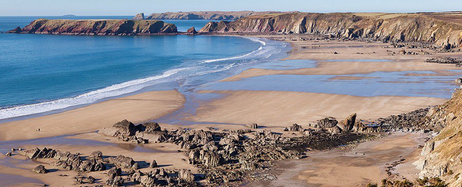
The Pembrokeshire Coast boasts some of the most beautiful beaches, cliffs and harbours in Britain. With over 300km of coastline to explore there’s plenty of opportunities to search for marine life.
If you are up for a real challenge, the Pembrokeshire Coast National Trail, from St Dogmaels to Amroth, is 186 miles of the most beautiful scenery you can get. So if you have a couple of weeks spare, this may be the challenge you have been looking for.
Alternatively, you may want to tackle any of the 200 circular walks that can be found here. I visited this area a few years ago but would love to go back soon.
Snowdonia National Park
- Confirmed – 1951
- Area – 2176 square kilometres
- Highest Point – Snowdon 1085m above sea level
- Coastline – 60 kilometres
- Main Towns – Aberdyfi, Beddgelert, Dolgellau, Trawsfynydd
- Visitors a year – 4.27 million a year
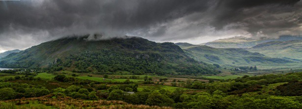
Snowdonia National Park is situated in the North west of Wales, and is home to the highest mountain in Wales, Snowdon. And whilst you naturally think of mountains and hills, there’s also wooded valleys and historic villages to explore. It also is home to the largest lake in Wales, Llyn Tgid.
Obviously if you are visiting Snowdon then most walkers will want to reach the summit. There are six main paths up Snowdon:
- – Llanberis Path, the most gradual;
- the Miners’ Track, built to serve the Britannia Copper Mine;
- the hardest path, the PYG Track;
- the Watkin Path, named after Liberal MP Sir Edwin Watkin;
- the Rhyd Ddu Path, the quietest of the six;
- and the Snowdon Ranger Path, thought to be the first path.
Of course, not everyone is up to the challenge of climbing a mountain, so if you are looking for a less strenuous walk then why not check out some of these moderate walks or even these more leisurely walks. No matter how hard the walks you choose, you will be guaranteed some amazing views.
Conclusion – How Many National Parks in Great Britain
So there you go, I hope you enjoyed this look at Britain’s 15 National Parks with a brief introduction to each. I hope it’s inspired you to plan a trip to a National Park this summer. Will you choose one close to you, or have you been inspired to take a trip further away and have your own little adventure in pastures new? Maybe you’ll take on two or three over the coming months?
Recent Posts
The Best Mindful Walking Trails in the UK: A Guide to Finding Peace on the Path
In the hustle and bustle of modern life, many of us find ourselves constantly connected, yet increasingly detached from the natural world and our own inner peace. For those of us in the 30-60 age...
You spot earth banks curving over a skyline and wonder what people once did up there. A hill fort is a raised, defended settlement - often a ring of banks, ditches and entrances - where communities...